
Satellite imagery gives experts a better understanding of conflict
· By Antonio Sedino, CTRO · Published by Reinventy Solutions Corp.
satellite data can support humanitarian conflict analysis, helping provide a clearer picture of the consequences of war and reduce the toll on civilians.
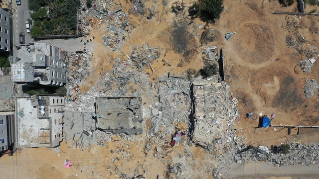
Satellite data supports humanitarian conflict analysis, offering clearer insight into war's civilian consequences.